
Reflections
Mapping is not just about maps — it's about connecting people to the information they need in moments that define us.
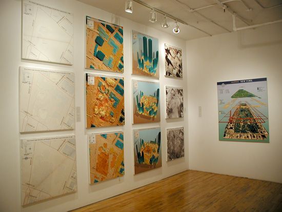
Remembering 9/11 with Professor Sean Ahearn: Mapping, Memory, and Recovery
On this day we remember the victims, the families, the first responders, and all those who rebuilt in the aftermath. We honor their courage, resilience, and the communities forever changed.
Consider a moment of silence, a donation to a verified relief or memorial fund, or volunteering with organizations that support first responders and survivors.
 Why this matters: Geospatial data and technologies provided situational awareness for responders, helped coordinate recovery logistics, and preserved a record of the changing landscape in the weeks, months and years after September 11.
Sean Ahearn, Professor in Geography and Environmental Science and Director of the Center for Advanced Research of Spatial Information used GIS, LIDAR, orthophotography and thermal imaging to map, monitor and assist the New York Fire Department and the various NYC agencies in the recovery efforts. This History Channel piece documents that work as part of the recovery efforts.
Further reading and resources:
- "Charting Ground Zero: the role of geospatial technology a retrospect of two decades past" - Explorers Log (Fall 2021), pages 32-33.
- "Charting Ground Zero: Ten Years After" - Woodward Gallery exhibition and catalogue.
- "The World Trade Center: Rise and Fall of an American Icon" - History Channel documentary coverage of geospatial work in recovery efforts (video below).