Seminar in GeoInformatics
Elevating Spatial Evaluation: Satellite-driven confounder adjustment
Wednesday, September 17, 2025
5:30 PM - 7:30 PM
1028 HN (in-person only)

Presented by
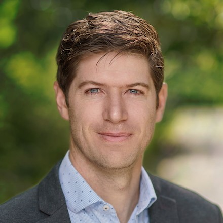
Dr. Luke Sanford
Assistant Professor of Environmental Policy and Governance
Yale School of the Environment
Abstract. Estimating causal effects of geospatial interventions, such as the presence of certain policies, on environmental, development, and conflict outcomes poses significant challenges. Traditional causal inference methods often fail to account for complex, hard-to-measure confounders in these settings. This paper proposes using satellite imagery and machine learning to adjust for confounders using a double machine learning approach. I demonstrate its effectiveness by conducting a Lalonde-style replication of findings from a land tenure Randomized Control Trial in Benin. The satellite double machine learning (S-DML) method recovers RCT treatment effects across multiple outcomes where traditional observational approaches fail. This approach offers several advantages: it leverages free satellite data, provides a computationally efficient way to process imagery, and enables evaluation of historical interventions. The S-DML method has broad potential applications in evaluating environmental policy, conflict, economic growth, and other spatial treatments where confounders may appear in satellite imagery.
About the Speaker. Dr. Sanford is an Assistant Professor of Environmental Policy and Governance at Yale School of the Environment. He graduated in 2021 with a PhD in Political Science and International Affairs from the Political Science department and the School of Global Policy and Strategy. His work focuses on environmental policymaking–especially how political institutions mediate the relationship between the environmental preferences of constituents and the incentives and actions of policymakers. He also studies the distributional consequences over space and time of decisions about natural resources, and how those play into policymaking. Dr. Sanford develops methods for using new sources of digital data, including text and satellite images, to measure individual and group preferences, and to observe outcomes on the ground. He uses those to help understand preferences for different policies and what the effects of those policies are.
Open to all students, faculty, and staff. RSVP not required.
