
Seminar in GeoInformatics
Geographic sciences in water-use permitting: ten plus years of research and consulting in groundwater and wetland discharge mapping
Wednesday, November 12, 2025
5:30 PM - 7:30 PM
1028 HN (in-person only)
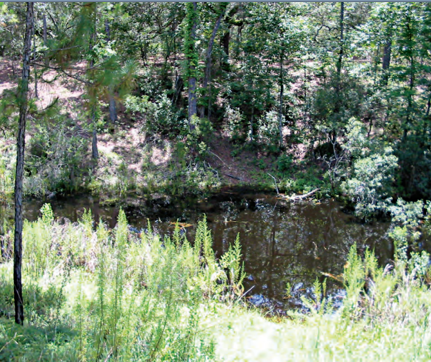 |
An impacted wetland where a sinkhole developed (Photo source: Dan Duerr, USGS) |
Presented by
Dr. Geoffrey Fouad
Lecturer of Earth Science
Hunter College
Abstract. For over ten years, the very geographic sciences that you are learning have been extensively applied for the management and water-use permitting of a regional groundwater aquifer north of Tampa Bay, Florida. The Upper Floridan aquifer is the primary water source for the Tampa Bay metropolitan area used by both individual permittees and the municipal water supplier, Tampa Bay Water. Formed in the aftermath of Florida’s “water wars” in the 1990s, Tampa Bay Water coalesces what were formerly fragmented, uncoordinated municipal users of the Upper Floridan aquifer in a consolidated water-use permit. At the outset of this permit, pumping was permitted at an average of 150 million gallons per day. After the turn of the century impacts to streams and wetlands were widely observed and Tampa Bay Water reduced its groundwater pumping to 90 million gallons per day. In the wake of the pumping cutbacks, various lines of evidence were developed to assess how the aquifer and overlying streams and wetlands were responding. This work presents a groundwater mapping technique first proposed and implemented at the United States Geological Survey (USGS) in 2014 to assess changes in the Upper Floridan aquifer. The technique is later extended for an unprecedented three-decade, monthly-average mapping time series and applied to assess wetland discharge attributable to rising aquifer water levels. The mapping technique provides a continuous time series of aquifer water levels at approximately 200 monitoring wells, which are used in a kriging interpolation to map water level surfaces in a 500-square-mile area. Not only do the surfaces provide a line of evidence as to how the aquifer responds to different pumping regimes, but it can also be compared to the land surface to show areas where the aquifer discharges on a monthly and seasonal basis. This often includes wetlands at streams and upstream headwater wetlands in the wet season, which provides a metric for assessing the recovery of wetlands following pumping cutbacks and a means for comparing different populations of wetlands, such as those in different groundwater pumping well fields. Overall, the groundwater surfaces and discharge metric has provided a defensible line of evidence for a renewal of Tampa Bay Water’s consolidated water use permit and the recovery of wetlands in the region.
About the Speaker. Dr. Geoffrey Fouad is a lecturer of Earth sciences in Hunter College’s elite Department of Geography, having the pleasure of advising undergraduate majors and teaching the breadth of geography classes from the technical (GIS) to the scientific (meteorology). Geoff specializes in the application of geographic and data mining methods in water-resource sciences, studying aquifers, wetlands, streams, and their interactions. Geoff’s work has been done for local partners in securing water-use permits and nationwide for federal agencies in conducting geographic investigations for water-resource management and decision making. This work primarily of a consulting nature has been done in parallel to an academic career including tenure at Monmouth University in New Jersey. Geoff holds a PhD in geography from the joint program at San Diego State University and the University of California Santa Barbara where he modeled streamflow in basins nationwide to earn his degree.
Open to all students, faculty, and staff. RSVP not required.